Celestek Beacon gives pilots the best chance of survival in an emergency using smallsat imagery analysis to determine the safest locations for off-airport emergency landings.
About
In 2016 alone, there were 439 air passenger fatalities in the US. 419 of these fatalities resulted from general aviation. We believe that with the current state of satellite imaging technology, general aviation can be much safer than it is now. Beacon stands for “Backup Emergency Area Chart for Off-Route Navigation”, providing general aviation pilots the best chance of surviving an emergency landing.
Beacon analyzes multiple landscape parameters including:
- Crop fertility
- Crop type
- Crop patterns
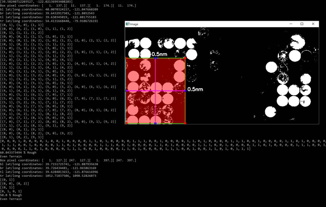
- Surface Area
- Surface Wind Conditions
- Roadside Obstacles
to determine the safest off-airport landing spots for pilots. A continuously updated map ranks ideal landing sites using infrared reflection to analyze surface conditions with machine learning algorithms. Beacon aims to equip every pilot with a backup option in a far-from-airfield emergency scenario.
Team

Process

